-
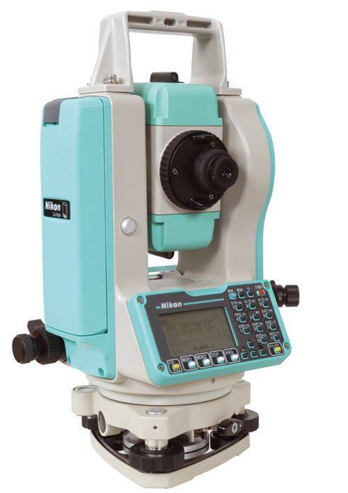 Sale Price listed while supplies last!- CURRENTLY OUT OF STOCK The Nikon NPL-322+ Series of mechanical total stations includes a 5" single face model. Nikon total stations are economical, versatile, easy to use, and feature Nikon's legendary optics. Product includes:
- Angle accuracy: 5" (1.5mgon) (ISO 17123-3)
- EDM type: Reflectorless technology
- Distance accuracy: 2 mm + 2 ppm Distance range: Up to 3,000m (9,840 ft) to single prism (ISO 17123-4)
- Reflectorless range: Up to 400 m (1312 ft) (KGC 90%)
- Compensator: Dual axis
- Compact, lightweight total station
- Graphic LCD display, Single face
- Full numeric keyboard, Single face
- Internal memory of 25,000 records
- Internal Bluetooth, laser pointer
- 1x NPL-322+ main unit
- 2x Li-Ion Long-life Batteries
- 1x Clip-on Battery Holder
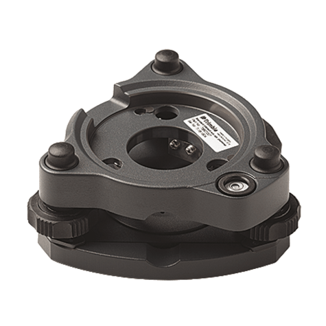
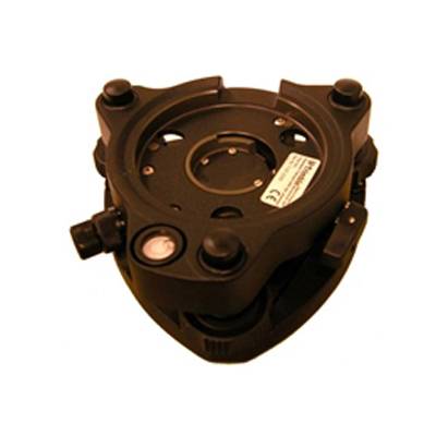
- 1x Tribrach
- 1x Plastic Carrying Case
- 1x Universal Charger, Power Cord and Adapters
- Total weight on bundle above is 23 lbs. Box dimensions 21 ½” x 13 ¾” x 15”
-

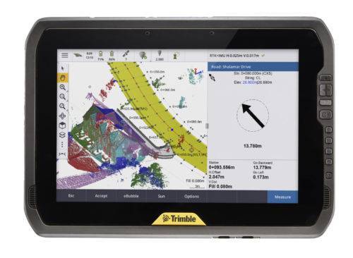 You can depend on It. The T100 is Trimble’s latest high performance tablet. With a sleek, rugged design and 10-inch touchscreen you can read in any conditions, the T100 handles anything the work day dishes out. See full datasheet here. The T100 at a glance...
- Large 10.1-inch touchscreen.
- Full Windows desktop applications.
- Integrated long life battery.
- Ergonomic design.
- Expandable Trimble EMPOWER modules.
- Enjoy the convenience of an all day battery—for a full days work, every day.
-
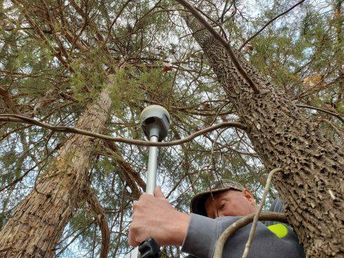
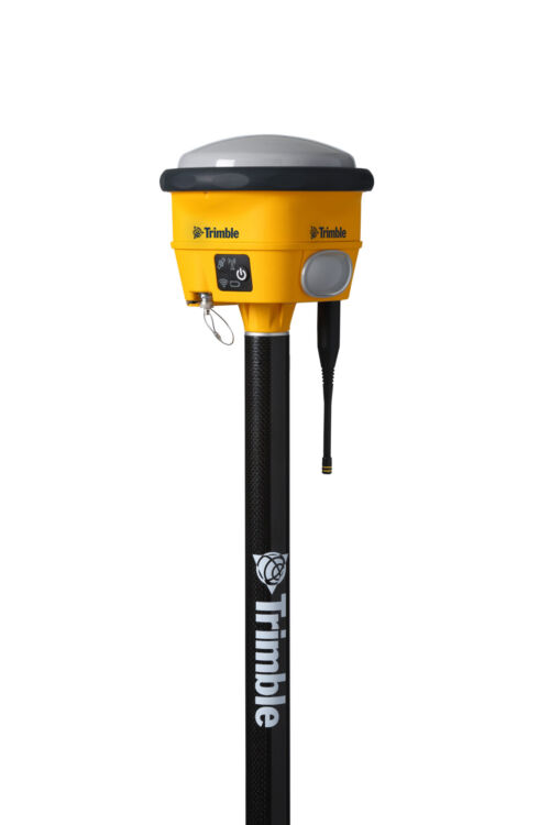
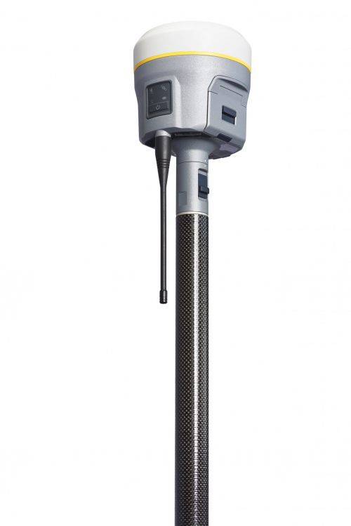 Precise, powerful, game-changing technology in an ergonomic design for easier and more comfortable handling. All-new Trimble ProPoint GNSS engine allows surveyors to push the boundaries of GNSS performance, with at least 30 percent† improved performance in challenging GNSS environments*. How? Flexible signal management enables the use of all available GNSS constellations and signals, resulting in higher satellite availability.
 -
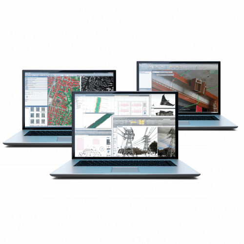 Trimble Business Center is Office Software for Surveyors. Contact us for a demonstration and/or quote. Complete your field to finish workflows and expand business opportunities with unique deliverables:
- Topographic base map creation for construction and land development
- Cadastral/ALTA drawings for boundary mapping
- Workflow automation through using templates and feature coding
- Perform Cut/Fill Map analysis, Corridor Design, Inspections and Volume Computations
![[DEV] Seiler Geospatial Logo](https://dev.seilergeo.com/wp-content/uploads/sites/9/2022/05/SeilerGeospatial.png)
