-
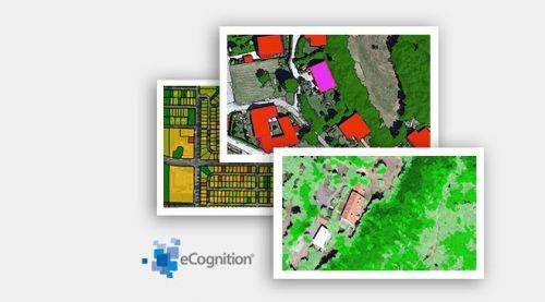 Trimble® TerraFlex™ is a flexible and easy-to-use cloud-based solution for field data collection that enables you to capture standardized, consistent data on your Android device. Add Trimble Catalyst to your TerraFlex field workflows to access high accuracy positions when and where you need them, using only a lightweight antenna that plugs into your Android smartphone. Contact your local Seiler GIS professional for details or purchase your TerraFlex software solution here.
 -
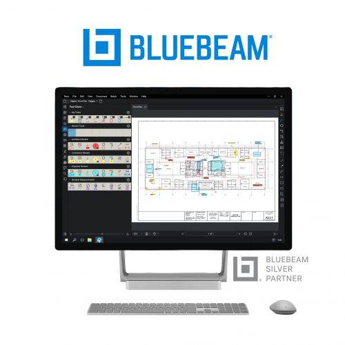 Bluebeam® Revu® is a PDF markup and editing software designed specifically for the AEC industry that allows for greater collaboration and efficiency—anytime, anywhere. Request a free 30-day trial or contact us for a quote.
 -
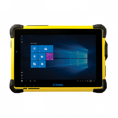 The Trimble® T10 tablet brings the advantages of fast computing power and a large screen to the field. Combined with integrated GNSS capabilities, the T10 is a powerful, rugged device created for survey fieldwork, mapping, and GIS data collection and at the same time supports demanding desktop applications.
 -

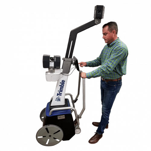
Trimble GEDO Track is a simple, integrated system to measure for precise adjustments, inspections and quality checks. In one operation, the Trimble GEDO captures the 3D coordinates of the track, together with gauge and cant. With its precision measurement systems, Trimble GEDO is suitable for conventional and high-speed rail construction. Contact us for more details and quote
KEY BENEFITS
- Reduce construction time and costs with immediate comparison of measured data to design
- Verify track geometry with accuracy and confidence. Precise optical positioning and a simple, self-contained trolley provide flexibility and reliable results
- Capture track 3D coordinates, gauge and cant in a single operation
- Import alignment design from digital or paper plans. Check design information before it goes to the job site
- Reduce time for documentation and acceptance. Capture adjustment and track acceptance data and quickly prepare reports for contractors and quality inspection
- Support for industry standard calculations including FAKOP® widening
- Satisfy reporting requirements with graphical and list form output of corrections for side and height correction plates
-
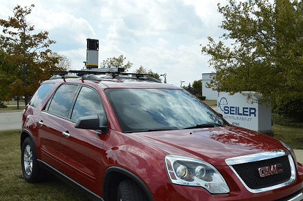
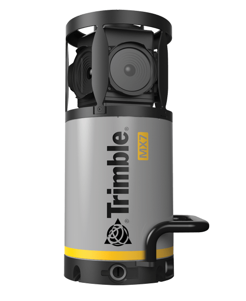 Contact us for details and special pricing! This demonstration unit has full warranty on hardware! The Trimble MX7 is a vehicle-mounted photogrammetric system equipped with six, 5 megapixel cameras, and Trimble Applanix GNSS and inertial geo-referencing modules. The Trimble MX7 can be deployed on vehicles of all sizes, letting you capture 30 MP geo-referenced images at highway speeds.
 -
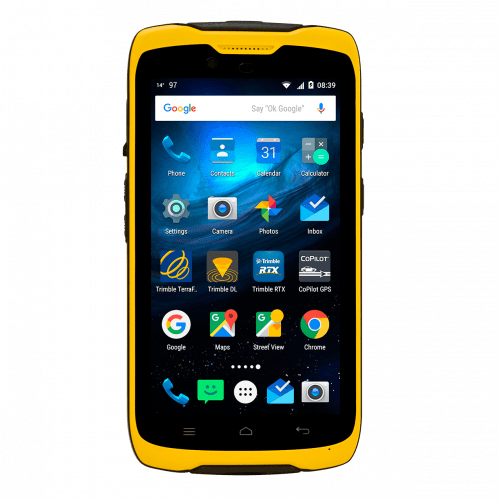 Features:
- Integrated 4G cellular data, text and voice capability (4G model)
- 13 MP (4G model) and 8 MP (Wi-Fi model) camera with geotagging and
- flash light
- High-sensitivity GNSS/SBAS receiver and antenna
- Bluetooth® v 4.0
- Wi-Fi IEEE 802.11 b/g/n
- Capacitive multi-touch 5.3 inch bright, sunlight-readable Gorilla Glass
- display
- Long-life user replaceable Li-Ion battery (standard or enhanced capacity)
- 1.2 GHz Qualcomm™ processor
- 2 GB SDRAM
- 16 GB (4G) and 8 GB (Wi-Fi model) flash memory
- 1 MicroSDHC memory card slot
- Integrated speaker and microphone
-
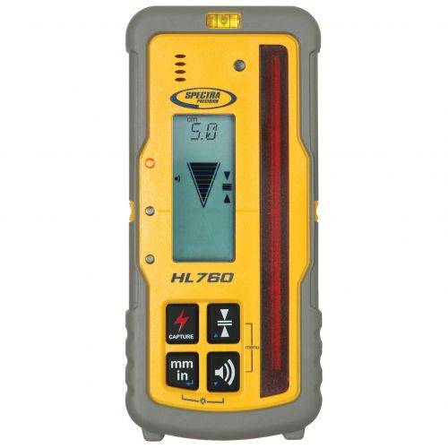
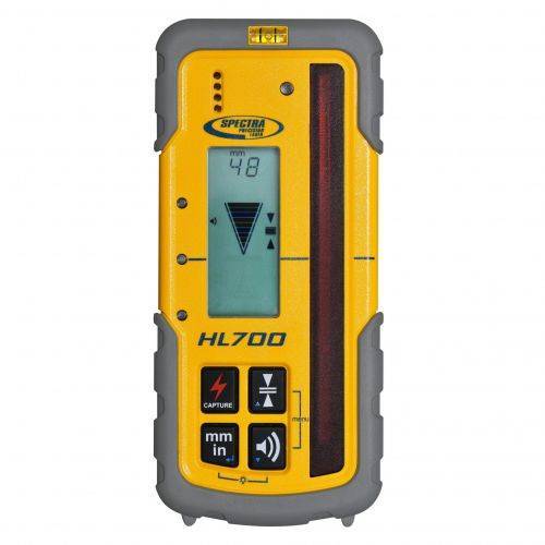
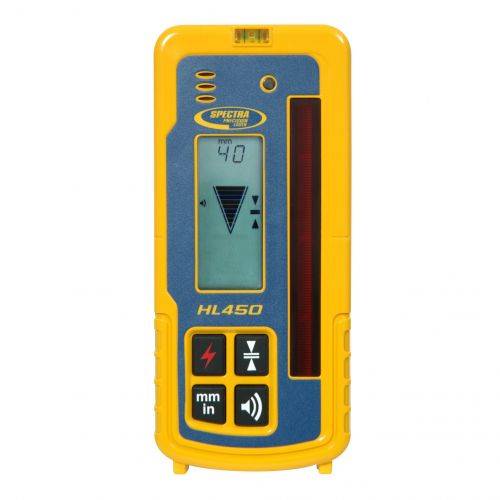 The HL450 Laser Receiver features a digital readout of elevation that provides a numeric display of ± 40 mm or ±1.5 inches. The readout is displayed on the large front and rear LCD’s and shows exactly how far the elevation is from on-grade. Accurate measurements can be made without moving the rod clamp, saving time and increasing productivity.
![[DEV] Seiler Geospatial Logo](https://dev.seilergeo.com/wp-content/uploads/sites/9/2022/05/SeilerGeospatial.png)
