-
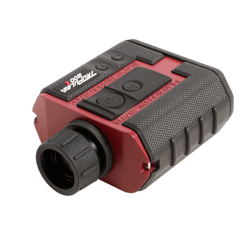
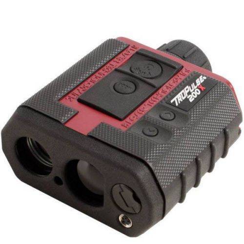 The TruPulse 200X laser rangefinder was designed to make high precision measurements for professionals working in challenging field conditions. The 200X provides an in-scope LED display that easily adjusts to varying light conditions, with its advanced inclination and distance accuracy, makes this laser rangefinder the most progressive product in the TruPulse Series line. Contact your local Mapping GIS Sales Professional for a demonstration and full details.
 -
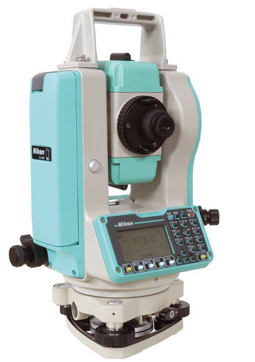 Sale Price listed while supplies last!- CURRENTLY OUT OF STOCK The Nikon NPL-322+ Series of mechanical total stations includes a 5" single face model. Nikon total stations are economical, versatile, easy to use, and feature Nikon's legendary optics. Product includes:
- Angle accuracy: 5" (1.5mgon) (ISO 17123-3)
- EDM type: Reflectorless technology
- Distance accuracy: 2 mm + 2 ppm Distance range: Up to 3,000m (9,840 ft) to single prism (ISO 17123-4)
- Reflectorless range: Up to 400 m (1312 ft) (KGC 90%)
- Compensator: Dual axis
- Compact, lightweight total station
- Graphic LCD display, Single face
- Full numeric keyboard, Single face
- Internal memory of 25,000 records
- Internal Bluetooth, laser pointer
- 1x NPL-322+ main unit
- 2x Li-Ion Long-life Batteries
- 1x Clip-on Battery Holder
- 1x Tribrach
- 1x Plastic Carrying Case
- 1x Universal Charger, Power Cord and Adapters
- Total weight on bundle above is 23 lbs. Box dimensions 21 ½” x 13 ¾” x 15”
-

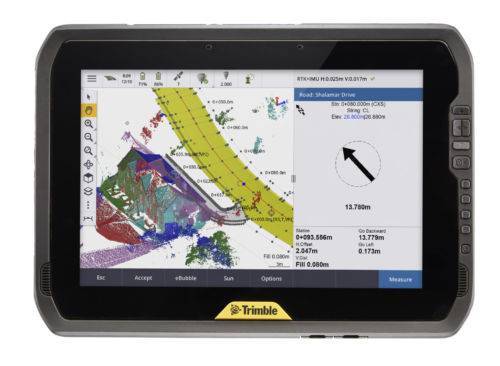 You can depend on It. The T100 is Trimble’s latest high performance tablet. With a sleek, rugged design and 10-inch touchscreen you can read in any conditions, the T100 handles anything the work day dishes out. See full datasheet here. The T100 at a glance...
- Large 10.1-inch touchscreen.
- Full Windows desktop applications.
- Integrated long life battery.
- Ergonomic design.
- Expandable Trimble EMPOWER modules.
- Enjoy the convenience of an all day battery—for a full days work, every day.
-
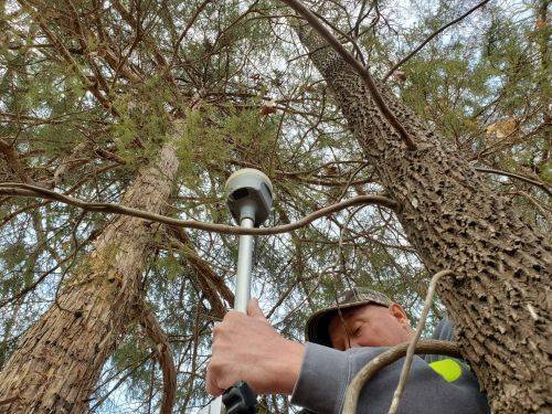
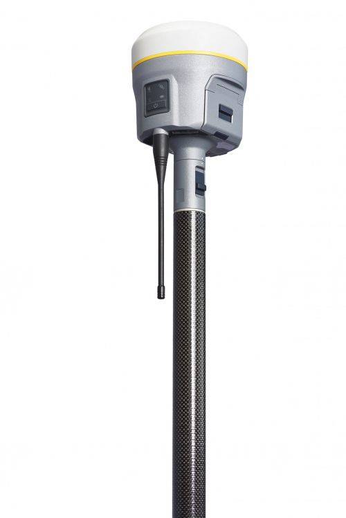 Precise, powerful, game-changing technology in an ergonomic design for easier and more comfortable handling. All-new Trimble ProPoint GNSS engine allows surveyors to push the boundaries of GNSS performance, with at least 30 percent† improved performance in challenging GNSS environments*. How? Flexible signal management enables the use of all available GNSS constellations and signals, resulting in higher satellite availability.
 -
 Trimble Business Center is Office Software for Surveyors. Contact us for a demonstration and/or quote. Complete your field to finish workflows and expand business opportunities with unique deliverables:
- Topographic base map creation for construction and land development
- Cadastral/ALTA drawings for boundary mapping
- Workflow automation through using templates and feature coding
- Perform Cut/Fill Map analysis, Corridor Design, Inspections and Volume Computations
![[DEV] Seiler Geospatial Logo](https://dev.seilergeo.com/wp-content/uploads/sites/9/2022/05/SeilerGeospatial.png)
