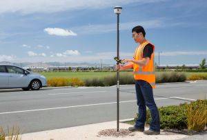
Coordinate systems are a fundamental part of GIS data collection, but they present a challenge for users who need to align newly collected data with existing data in their GIS.
Register here for the webinar on December 2nd 2020 1pm MST
Join the Trimble Mapping Team for a webinar where we’ll show you how coordinate system selection is made easy in our upcoming Trimble TerraFlex software release!
In this webinar we’ll cover:
- The importance of geodetics for high-accuracy GIS data collection
- The updates to Trimble TerraFlex, Trimble Connect Map Viewer, and Trimble Positions to support local coordinate systems
- A chance for Q&A
![[DEV] Seiler Geospatial Logo](https://dev.seilergeo.com/wp-content/uploads/sites/9/2022/05/SeilerGeospatial.png)

Leave A Comment