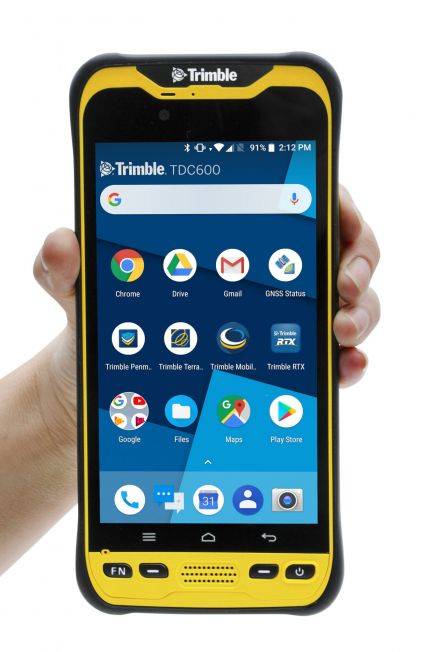
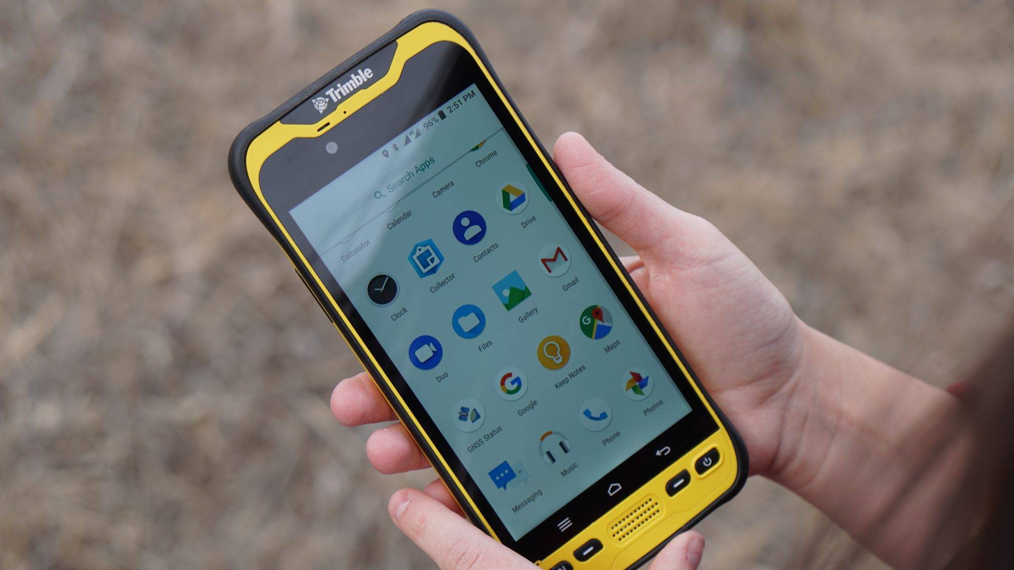
The Trimble® TDC600 GNSS Handheld Data Collector is a sleek, all-in-one rugged smartphone with a built-in professional GNSS receiver. Designed for ease-of-use in a wide range of GIS applications, the TDC600 helps you collect and retrieve highly accurate spatial information while staying in touch with the office—all with a single device. It’s the smart, productive way to collect data and communicate from the field. Contact your local Mapping GIS Sales Professional for a demonstration and full details.
Trimble TDC600 Handheld Data Collector
Description
The Trimble® TDC600 GNSS Handheld Data Collector is a sleek, all-in-one rugged smartphone with a built-in professional GNSS receiver. Designed for ease-of-use in a wide range of GIS applications, the TDC600 helps you collect and retrieve highly accurate spatial information while staying in touch with the office—all with a single device. It’s the smart, productive way to collect data and communicate from the field.
KEY FEATURES
- All-in-one GNSS data collector and smartphone
- Android™ 8.0 operating system
- 6-inch high resolution sunlight-readable display
- Powerful Qualcomm® processor with 4 GB RAM and 64 GB internal storage
- Large capacity, user replaceable all day battery
- Real-time positioning with built-in GNSS receiver
- Google Mobile Services certified with access to Google Play™ store apps
- Ultra-rugged design with MIL-STD-810G certification
- 4G LTE, Wi-Fi, Bluetooth® connectivity options for voice calls and data
- Ergonomic, lightweight and slim form factor
- Front- and rear-facing cameras
- Supports the Trimble® Catalyst™ service and Trimble R2 and R1 GNSS receivers
- Runs Trimble, third-party or custom-developed field applications
Additional information
| Weight | 9 lbs |
|---|---|
| Dimensions | 7.7 × 3.6 × 0.67 in |
| product_documents_label | Trimble TDC150 Handheld |
| product_documents | Trimble/Trimble TDC150 Handheld_DS_0319_HR.pdf |
| Data Collection | Scalable positioning accuracy, from 1 meter down to centimeters, even in the hand. Horizontal and vertical centimeter accuracy can be achieved using a monopole set-up. Collect your field data easily and reliably using professional GIS mobile apps such as Trimble TerraFlex?, Trimble Penmap? for Android?, and Esri? Collector for ArcGIS?. Integrated GNSS receiver tracks multiple satellite systems such as GPS, GLONASS, BeiDou, Galileo, QZSS, and SBAS for real-time positioning. |
| rental_daily | Contact Us |
| rental_weekly | Contact Us |
| rental_monthly | Contact Us |
Product Documents
Rental Rates
| Daily | Contact Us | Weekly | Contact Us | Monthly | Contact Us |
|---|
![[DEV] Seiler Geospatial Logo](https://dev.seilergeo.com/wp-content/uploads/sites/9/2022/05/SeilerGeospatial.png)


Reviews
There are no reviews yet.