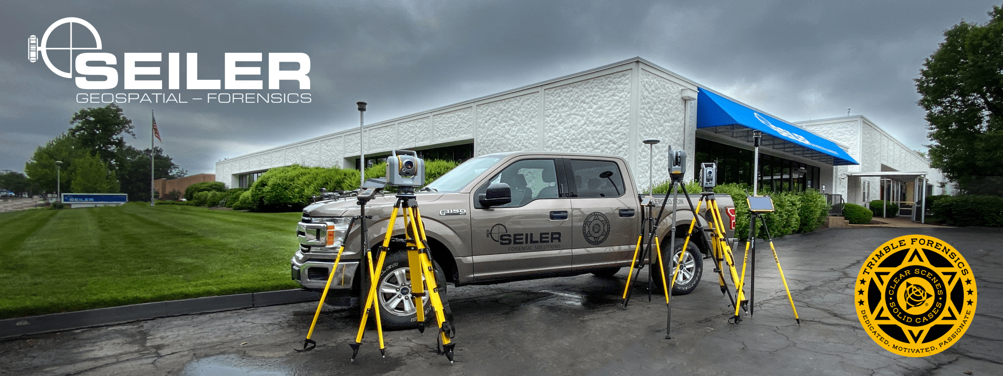
Seiler Forensics and Public Safety provide a powerful package of hardware and software solutions designed specifically to help law enforcement, first responders, emergency managers, and private sector security agencies handle the toughest information-collection challenges.
We offer solutions for forensic mapping, emergency planning, quick scene clearance, real-time emergency response, and crash and crime scene reconstruction. Seiler Forensics and Public Safety offers a complete product line of Trimble Forensic mapping solutions including total stations, scanners, GNSS, and drones.
Our Trimble Forensics software solutions expedite the processing of field data and streamline your workflows, enabling you to quickly generate quality results with confidence. We offer a complete line of drones to assist in mapping, planning, search and rescue, tactical situations, and emergency response. With high powered zoom, thermal, and spotlight payloads search and rescue can be done more efficiently and effectively while covering larger areas. Drones also offer in real-time better situational awareness for all public safety personnel.
The Seiler team takes pride in not just offering products, but rather solutions, exceptional customer service, and training by ACTAR accredited certified Trimble Forensics instructors. dev.seilergeo.com or seilergeodrones.com

Drones: Seiler GeoDrones a business segment of Seiler Instrument offers the best solution for your UAS forensics needs. 
Recent Videos: We are on YouTube! Check out the most recent video: Creating Videos in Trimble Forensics Realworks
(Check out our calendar of events for upcoming training courses)
About our Staff:
Instructor: Thomas W. Erdmann – Seiler Instrument, Applied Forensic Expert, Retired State Patrol. Read more here.
Instructor: Adam Johnston – Applied Forensic Specialist
Instructor: Michael Marquardt, Applied Forensic Specialist-ACTAR #1507
![[DEV] Seiler Geospatial Logo](https://dev.seilergeo.com/wp-content/uploads/sites/9/2022/05/SeilerGeospatial.png)